File:2010-04-15 Everwood satellite view.crop.jpg
Jump to navigation
Jump to search

Size of this preview: 619 × 600 pixels. Other resolutions: 248 × 240 pixels | 740 × 717 pixels.
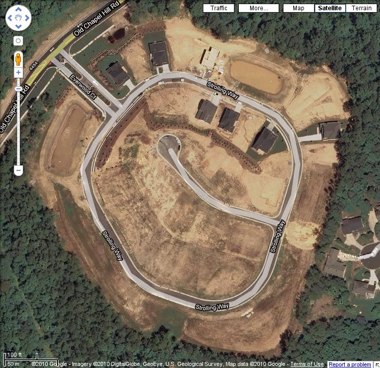
Original file (740 × 717 pixels, file size: 166 KB, MIME type: image/jpeg)
Satellite view of Everwood, retrieved from Google Maps on 2010-04-15
File history
Click on a date/time to view the file as it appeared at that time.
| Date/Time | Thumbnail | Dimensions | User | Comment | |
|---|---|---|---|---|---|
| current | 14:22, 15 April 2010 | | 740 × 717 (166 KB) | Woozle (talk | contribs) | Satellite view of Everwood, [http://maps.google.com/maps?ll=35.943669,-78.972108&spn=0.003118,0.00398&t=h&z=18 retrieved] from Google Maps on 2010-04-15 |
You cannot overwrite this file.
File usage
The following page uses this file: