American Tobacco Trail/south Durham
Connections
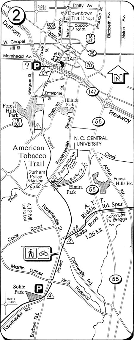
- North: downtown Durham
- Junctions:
- Forest Hills Neighborhood (see) / St. Theresa Neighborhood
- Rocky Creek Trail / Pearsontown Trail
- Riddle Road Spur
- South: I-40 crossing
Road Crossings
(from memory, north to south):
- Enterprise St. in Forest Hills; not busy
- Otis St. (neighborhood through-street, but usually pretty quiet)
- Fayetteville Rd. (busy; traffic light and pedestrian crossing light/button)
- Riddle Rd. (more fast than busy; button activates flashing yellow light to warn drivers)
- (street behind school; not too busy, but vehicles do come along regularly)
- Cornwallis Rd. (much like Riddle Rd.)
- Martin Luther King Jr. Parkway (very busy; the crossing signal was improved in early 2010 when the intersection was widened, but The Hypertwins still think that the city should put in a pedestrian/bike crossing a little way uphill of Cardinal Self-Storage South instead of making everyone cross at the intersection.)
- Fayetteville Rd. (again) (busy; traffic light, pedestrian crossing light/button makes tone when it's safe to cross)
- several suburban offshoot streets, mostly not too busy but with no signals
About
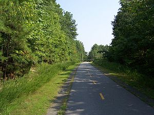
The South Durham section of the American Tobacco Trail is a former railroad right-of-way beginning at the south edge of downtown Durham (just beyond the NC-147 bridge over Blackwell Street) and reaching 6.5 miles south to a "temporary end" at NC-54, just across I-40 from Southpoint Mall.
To reach the current southern "temporary end" of the trail, you have to turn right several yards short of the end of the straight-ahead part of the trail (which mainly goes to the small ATT parking area at the shopping center entrance off Fayetteville Rd.) to get to the final section of trail. The turn is not clearly marked as being the official continuation of the Trail; you have to look closely at the signpost (which is on the left, opposite the turnoff) and notice the little arrow pointing to the right.
This stretch runs around through Southpoint Crossing, a gated community and shopping center (the trail runs behind the shopping center with a hill separating it from vehicular traffic) and over to NC Highway 54, a busy road with 5+ lanes.


